
More...
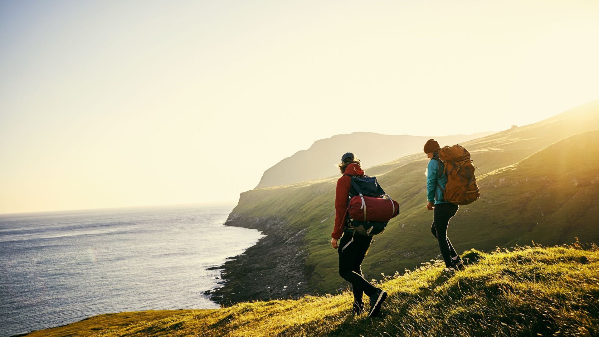
Routes
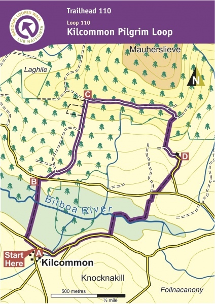
A-B. With your back to the Community Centre, turn left and follow the purple arrow along the roadway for 200m to reach a farm laneway on your right. Turn right and follow the laneway downhill to a sharp left bend – go straight across and continue to follow the purple arrows along the fence to reach the Bilboa River. Cross the footbridge and follow the edge of forestry to reach the roadway. Turn left here.
B-C. After 300m turn right, cross a stile onto a forestry track and, almost immediately, turn left at a Y-junction. Follow the forestry track as it swings right, then left, and ascend to reach a left bend where it climbs a bank to exit onto a forestry road and turn right.
C-D. Follow the forestry road for 1km to reach a Y-junction where the loop veers right. [Experienced hillwalkers may enjoy the challenge of taking a left here to ascend Motharsliabh (5XXm) – it’s approximately a 1hr climb.]. After 200m watch for a right turn which takes you through a short section of forestry and onto an old roadway. The roadway descends and takes you onto a surfaced road at a bend. A 200m detour to your right takes you to a Mass Rock – the main loop continues downhill along the road.
D-A. Descend for 200m before turning right and crossing a stile into a field. Follow the boundary downhill to exit at a gateway, turn right and immediately, turn left onto a laneway. After 100m turn right across a stream, turn left and follow the field boundary first to the corner and then along the riverbank to reach a footbridge on your left. Cross the river, and follow an old roadway for 200m, and a field boundary uphill for 100m to reach a surfaced road. Turn right and enjoy the last 700m back to the village
Directions to Trailhead
From the village of Toor, follow the road (unclassified) in the direction of Newport. After 2km turn right onto a minor roadway and follow the Trailhead signs to reach the trailhead at Doonane.